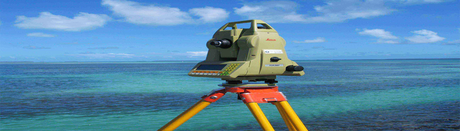
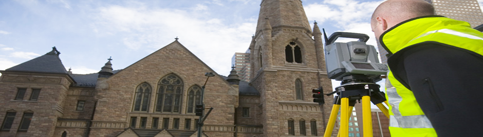
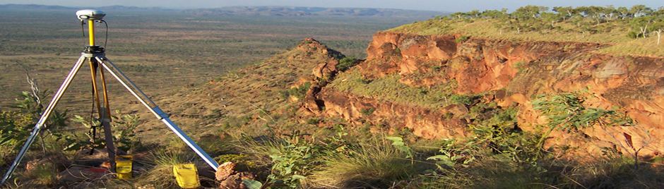
Surveys
Architectural / Building, Site feature/contour, Building setout, Façade detail, Laser remote height pickup

Mapping
Small to large scale plans, GPS or local grid co-ordinate option, terrain and cadastral, farm/vineyard plans

Cad Drafting
Autocad industry standard drafting, full model and paper space handling, land modeling and surface rendering
ABOUT MONAGHAN SURVEYING AND MAPPING
Monaghan mapping and surveying is located in the Fremantle area of Perth. The Company has been in operation for 14 years in Perth and 12 years in Margaret River. We work both in the metropolitan area, country towns and the north west.
We provide services to :
- Home owners for site feature plans for building /architectural design work
- A large range of architects and building designers for design purposes
- A range of engineers for construction design for projects from mining, pipelines, roads, bridge upgrades, deformation of structures
- A range of builders for setout of buildings
- Mining companies for site development and earthwork design.